DTRF2008
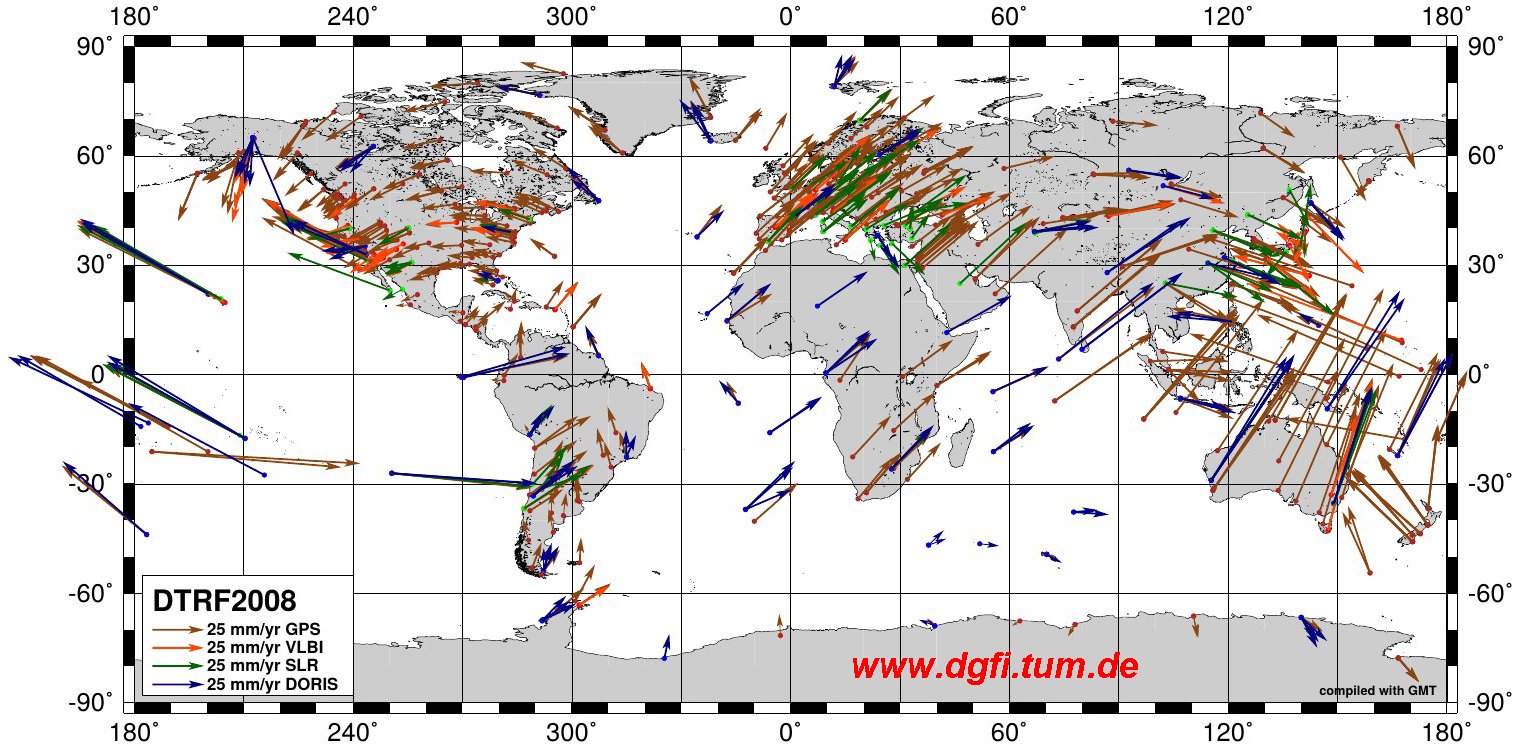
DTRF2008 is the ITRS realization of DGFI-TUM released in May 2010 (Seitz et al., 2012). It is combined from the observation data of the techniques VLBI, SLR, GPS and DORIS up to and including 2008 that were processed and submitted by the corresponding IAG International Services. It comprises the coordinates of 559 GNSS-, 106 VLBI-, 122 SLR- and 132 DORIS-stations.
Data:
The solution is available here: DTRF2008 solution.
Please use the references below for citations.
References:
Seitz M., Angermann D., Bloßfeld M., Drewes H., Gerstl M.: The 2008 DGFI Realization of the ITRS: DTRF2008. Journal of Geodesy, Volume 86, Issue 12, 1097-1123, doi:10.1007/s00190-012-0567-2, 2012.
Seitz M., Angermann D., Bloßfeld M., Drewes H., Gerstl M.: The 2008 DGFI Realization of the ITRS: DTRF2008 (data). Deutsches Geodätisches Forschungsinstitut, Munich, doi:10.1594/PANGAEA.834714, 2010.
Description:
The DTRF2008 is an independent ITRS realization computed on the basis of the same input data as the ITRF2008. DTRF2008 and ITRF2008 differ with respect to their computation strategies: while the ITRF2008 is based on the combination of solutions, the DTRF2008 is computed by the combination of normal equations. For details on DGFI-TUM's combination strategy, see here.
The DTRF2014 reference epoch for station positions is 01-01-2005, 0:00 UTC. The Earth Orientation Parameters (EOP) simultaneously estimated with the station coordinates cover the period from 1983 to 2008. Station names are the official IERS indications: cdp numbers or 4-character IDs and DOMES numbers.
A detailed description of the solution is given in the reference publication (Seitz et al., 2012).
Deutsches Geodätisches Forschungsinstitut
Contact:
Dr.-Ing. Manuela Seitz
manuela.seitz@tum.de
80333 München
Arcisstr.21
Tel. +49 89 289-23753