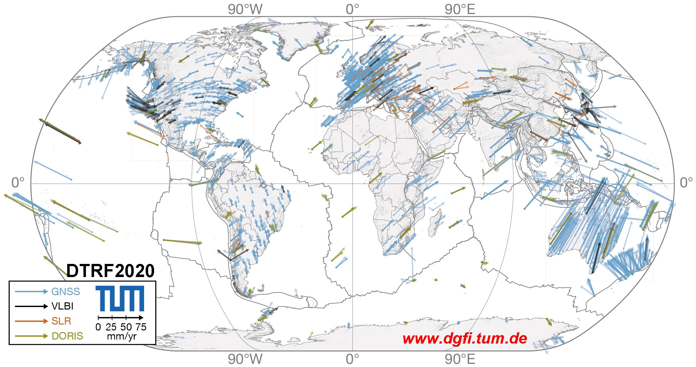
DTRF2020
The is the latest ITRS realization of DGFI-TUM. It was computed in 2021/2022 and is based on input data provided by the IAG Scientific Services of the four geodetic space techniques VLBI, SLR, GNSS and DORIS (IVS, ILRS, IGS, IDS). The observation time spans cover 27 to 41 years until the end of 2020. DTRF2020 is characterized by the innovations listed below.
- Find also the new search option of the Interactive Map !
- The newly compiled ESA antex file esa23_2303.atx including manufacturer calibrations of Galileo, GPS Block IIIA and QZSS satellites should be used together with igs20.atx for GNSS applications of DTRF2020!
Innovations since the previous ITRS realization,
-
Six more years of observation data.
-
New stations and satellites, technically improved stations.
-
Technique-specific input data series are calculated according to the latest general and technique-specific models.
-
GNSS provides for the first time an independent scale realization, made possible by the disclosure of the Galileo satellite calibrations.
-
For DTRF2020 the scale is realized for the first time from VLBI and GNSS observations.
-
DTRF2020 considers for the first time all three components of non-tidal loading: the atmospheric, the hydrological and the oceanic part, consistently derived by the Global Geophysical Fluid Center, GGFC. The data cover the full observation time span of the space-geodetic techniques (1979 - 2021.0).
-
For the first time, post-seismic deformation of stations affected by earthquakes are modelled and considered in the DTRF computation.
Publication
Deutsches Geodätisches Forschungsinstitut
Contact:
Dr.-Ing. Manuela Seitz
manuela.seitz@tum.de
80333 München
Arcisstr.21
Tel. +49 89 289-23753